
Climate
The Himalayas Are Under Pressure From Above, Below and Within
The Himalayas are changing in ways that are becoming harder to ignore. As glaciers retreat and permafrost warms, avalanches, landslides and other hazards are becoming more difficult to predict, while growing settlements are putting more people in harm’s way. The recent disaster in Nepal is a reminder that the region needs better warning systems, safer planning and stronger cooperation before the next disaster strikes.

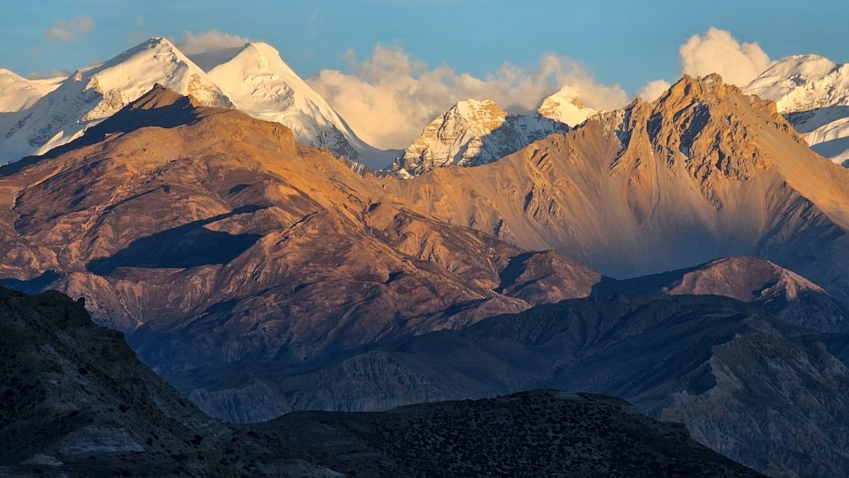
The Himalayas are often described as a region increasingly vulnerable to climate change. But the risks facing the world’s youngest major mountain range are more complicated than warming alone. Glaciers are retreating, permafrost is degrading, avalanches remain a persistent threat and settlements are expanding into unstable mountain terrain. At the same time, the geological forces that created the Himalayas have never stopped.
The recent disaster in Nepal has brought these overlapping risks into sharp focus. Speaking during a discussion on the Nepal floods, Hridayesh Joshi, visiting writer at Carbon Copy, described the event as comparable in scale to the 2013 Kedarnath disaster. He pointed to a succession of disasters across the Himalayas, including Kedarnath, Chamoli, Joshimath and Dharali, as evidence of a growing pattern of extreme events.
But the danger is not coming from a single source.
A Mountain Range That is Still Moving
The Himalayas are not a static landscape. They exist along one of the world’s most active continental collision zones, where the Indian Plate continues to converge with the Eurasian Plate at roughly 40–50 mm a year. The Indian Plate is being pushed beneath the Eurasian Plate, generating enormous stresses in the Earth’s crust and making the region highly earthquake-prone.
The same collision that continues to shape and raise the Himalayas is also responsible for much of their seismic instability. The crust is compressed, folded and fractured as the two plates continue to push against each other.
This geological pressure does not mean that every Himalayan landslide or flood is caused by tectonic movement. But it creates a fundamentally unstable mountain environment in which earthquakes, rock failures and other processes can interact.
The Himalayas are also geologically young. In the Nepal disaster discussed by cryosphere specialist Dr Farooq Azam of ICIMOD, the underlying geology was an important part of the story. Much of the affected area contains sedimentary rock formations that are vulnerable to weathering. That creates a landscape where climate-driven changes can amplify existing geological weaknesses.
The Ice Changing The Terrain
Glacier retreat is altering that terrain further. As glaciers recede, they expose rock surfaces that absorb more heat. They can also leave behind loose debris. At elevations of around 5,000–6,000 metres, permafrost—the frozen ground beneath the surface—can also begin to warm and degrade as temperatures rise.
Azam said the Nepal disaster appeared to involve a combination of climatic and geological processes rather than a single trigger. This matters because a warming mountain does not simply lose ice. It can change the stability of the material holding the mountain together.
ICIMOD reported in March 2026 that ice-loss rates across the Hindu Kush Himalaya have doubled since 2000. The region’s glaciers have lost up to 27 metres of ice thickness since 1975. The consequences can extend well beyond the glacier itself. In the Everest region, for example, a 2024 glacial lake outburst flood was triggered after a rock avalanche struck a glacial lake, generating a displacement wave and releasing about 156,000 cubic metres of water. Nepal has experienced more than 90 GLOFs since the early 1920s.
Avalanches are an older warning
Avalanches add another layer to the Himalayan risk. A regional assessment of snow and ice avalanches identified 681 avalanche events between 1972 and 2022, resulting in more than 3,100 deaths across eight countries in High Mountain Asia. India accounted for 952 recorded deaths and Nepal for 508.
The numbers also reveal why simply counting floods does not capture the region’s vulnerability. Avalanches can affect communities, roads, infrastructure and people living far below the high-altitude slopes.
The research found that most recorded avalanches occurred between January and March. It also noted that only 21% of recorded events had a reported impact, meaning the available database does not represent every avalanche that occurs in the region. Avalanches therefore need to be considered alongside landslides, GLOFs and flash floods rather than treated as an isolated winter hazard.
People are moving into the hazard zone
Natural hazards become disasters when people and infrastructure are exposed to them. Joshi pointed to a dramatic increase in population in parts of the Himalayan region. According to the figures he cited, the population in the area has increased by nearly 600% over the past five decades, while the area under habitation is projected to expand substantially by 2030.
Azam similarly highlighted the absence of a comprehensive land-use policy across the Himalayas. In countries such as Nepal and Bhutan, settlements are often concentrated in gorges, where communities can be particularly exposed to sudden floods, landslides and rockfalls.
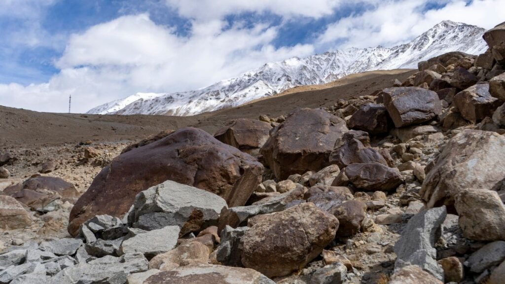
This creates a dangerous overlap: climate change is altering the physical environment while development is increasing the number of people and assets exposed to it. Hydropower is a particularly important example. The 2021 Chamoli disaster damaged hydropower infrastructure, while more recent Himalayan disasters have again exposed the vulnerability of power projects and other infrastructure to cascading hazards.
The warning system has a blind spot
One of the biggest problems is that there is no single early-warning system capable of detecting every Himalayan hazard. Azam noted that existing systems are largely designed to detect glacial lake outburst floods. But the Nepal event did not originate from a conventional glacial lake. The critical movement occurred beneath the rocky surface, making it much harder to identify in advance.
The solution, he argues, requires a different level of monitoring: high-resolution imagery, systems capable of detecting ground movement, machine-learning models and more weather stations across the mountains.
That is a formidable challenge. Monitoring the Himalayas continuously is difficult because of their enormous size, extreme elevations and limited accessibility. But the alternative is increasingly expensive.
Climate risk is becoming an economic risk
The consequences are no longer limited to vulnerable mountain communities. Ulka Kelkar of WRI India pointed out that businesses and critical infrastructure are also increasingly exposed to climate-related losses. Hydropower projects in India, for example, have already been affected by Himalayan disasters.
Kelkar also argues that insurance cannot be treated as the only financial response. As climate-related disasters become more frequent and geographically widespread, insurers themselves face growing exposure. She proposes regional catastrophe funds that could combine government compensation, international finance, insurance and reinsurance mechanisms.
The same logic applies to adaptation. Private capital is unlikely to finance enough adaptation on its own because many adaptation measures benefit entire communities rather than generating easily recoverable financial returns. Kelkar argues that climate resilience therefore needs to be integrated into government budgets across sectors.
The Himalayas need a regional response
The Himalayas do not follow national borders, but disaster management largely does. Rivers, glaciers, weather systems and mountain ranges connect India, Nepal, Bhutan, China and Pakistan. Yet data-sharing between countries remains inconsistent. Kelkar noted that some existing arrangements operate only during the flood season, even as changing climate patterns create risks throughout the year. Geopolitical tensions can further disrupt these channels.
That makes regional cooperation as important as local preparedness.
The challenge facing the Himalayas is therefore not simply that climate change is producing more extreme weather. It is that warming is interacting with a young, tectonically active and geologically fragile mountain system, while people and infrastructure are moving deeper into that system.
The Himalayas are moving from below. Ice is changing from above. Rock and frozen ground are becoming less stable. Avalanches and landslides can turn those changes into sudden disasters. The question is no longer whether the Himalayas are hazardous. It is whether the systems built around them can adapt quickly enough.



Climate
Istanbul Floods Reveal How Climate Change and Urbanisation Combine to Raise Flood Risks
Urban flooding highlights the growing challenges cities face in managing extreme rainfall, protecting vulnerable communities and strengthening climate resilience.

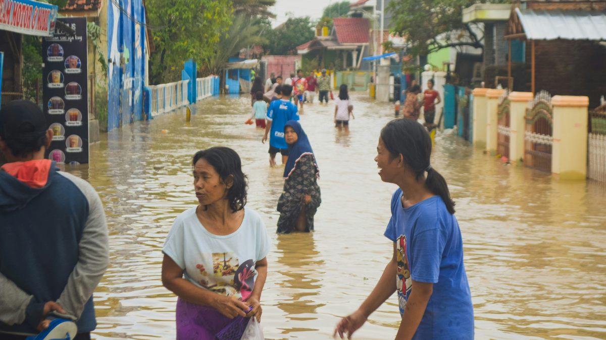
The torrential rainfall that flooded Istanbul on October 14–15 has highlighted a growing challenge for cities confronting extreme weather: how to prepare for heavier rainfall when the extent of climate change’s influence varies across regions, and the damage depends partly on how urban landscapes are built.
A new analysis by the ClimaMeter research team finds that weather patterns similar to those behind the floods now bring about 7% heavier rainfall and 9% stronger winds than comparable patterns recorded between 1950 and 1987. Temperatures in the region of heaviest rainfall are up to 1.5°C higher than in the historical comparison period.
However, the increase in rainfall was not statistically significant over Istanbul itself. The researchers identified significant rainfall increases across parts of western and north-western Anatolia and along the Black Sea coast north of the city, while natural climate variability also contributed to the event.
The floods triggered 1,277 flooding incidents and 15 landslides across Istanbul, according to the analysis. ClimaMeter reported 194 millimetres of rainfall at Ömerli in the Beykoz district, while Istanbul’s disaster coordination centre, AKOM, reported 277.1 millimetres in Beykoz during the event. Two people died, 595 people were evacuated after becoming trapped, and roads and schools were affected.
The findings underline an important distinction: climate change can alter the conditions associated with extreme rainfall, but it does not explain every aspect of an individual flood. Urban drainage, land use and exposure determine how rainfall translates into damage.
What climate attribution reveals
The ClimaMeter analysis compared the atmospheric conditions of October 14–15, 2026, with similar weather patterns from 1950–1987 and 1988–2025. Using the European Centre for Medium-Range Weather Forecasts’ ERA5 reanalysis data, researchers examined changes in precipitation, temperature and wind.
They estimated that about 3% of the rain-linked damage associated with the event was attributable to human-driven climate change, with an estimated range of 1–4%. This is a rainfall-based attribution estimate, not a calculation of the proportion of all damage caused by global warming. The methodology does not account for drainage capacity, impermeable surfaces or construction along streambeds.
The physical basis for heavier rainfall is well established. The Intergovernmental Panel on Climate Change (IPCC) explains that the atmosphere can hold approximately 7% more water vapour for every 1°C of warming. When atmospheric conditions are favourable, additional moisture can contribute to more intense precipitation.
The IPCC’s Sixth Assessment Report concludes that heavy precipitation has become more frequent and intense across most land regions with sufficient observational coverage, primarily because of human influence. Regional trends, however, are not uniform, and Mediterranean precipitation patterns are affected by considerable natural variability.
The Istanbul findings therefore point to a need for preparedness without overstating the evidence. The absence of a statistically significant local rainfall trend does not mean the city faces no climate risk. It means that the specific analysis did not establish a significant rainfall increase over Istanbul for the weather pattern examined.
Urban development can magnify flood damage
How a city responds to rainfall depends on more than the volume of water falling from the sky. Roads, buildings and other impermeable surfaces reduce the amount of water absorbed into the ground, increasing runoff. If drainage systems cannot carry away the additional water, streets and low-lying areas can flood rapidly.
Research conducted in Istanbul provides evidence of how planning decisions can influence this risk. A 2021 study by Seda Ertan and Rahmi Nurhan Çelik, published in Sustainability, modelled flood scenarios across a 1,653-hectare catchment of the Kağıthane Stream.
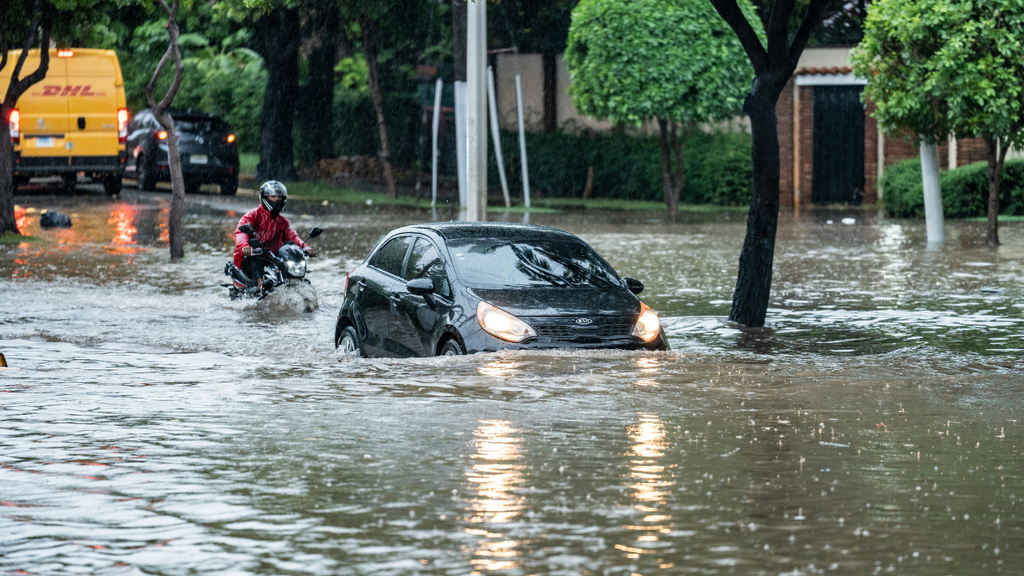
Representational image.image credit:Pexels
The researchers examined measures including green roofs, permeable road surfaces, rainwater collection and drainage channels. Their results indicated that green infrastructure could reduce surface runoff and peak flow rates, as well as the area inundated and the number of structures exposed to flood risk.
The findings suggest that flood management should extend beyond expanding conventional drainage infrastructure. Permeable surfaces can allow more rainwater to enter the ground, while green roofs and rainwater collection systems can help retain water before it reaches drainage networks. Their effectiveness nevertheless depends on local conditions and the intensity of rainfall.
A separate study published in the Journal of Flood Risk Management in January 2025 examined flood exposure and vulnerability in Istanbul’s Pendik district. The researchers found that flood-prone areas were associated with lower land values and greater concentrations of socially disadvantaged residents, including older people, refugees and people with lower levels of education.
The study identified substantial differences in vulnerability within the district. About 21% of the assessed Kaynarca basin fell into the study’s very-high-vulnerability category, while 20.4% was classified as high vulnerability. These classifications reflect the study’s specific assessment framework and should not be interpreted as estimates for Istanbul as a whole.
The research highlights an important dimension of urban resilience: communities do not experience flood risk equally. Housing conditions, access to resources, the location of residential areas and the ability to respond to warnings can influence how severely households are affected.
Building resilience beyond emergency response
The implications extend beyond Istanbul. Cities facing intense rainfall need to combine reliable drainage systems with land-use planning, early-warning mechanisms and protection of natural waterways.
Nature-based approaches can complement conventional flood defences. A 2024 review published in npj Urban Sustainability examined the role of nature-based solutions in flood-risk management, emphasising the importance of considering social and ecological outcomes alongside physical protection. Wetland restoration, urban green spaces and restored stream corridors can help retain water and reduce runoff, although they cannot eliminate the risk of flooding during extreme events.
For Istanbul, the findings also raise questions about development near waterways and the preservation of natural drainage routes. A recent report by the Turkish news agency Anadolu Agency, published on October 20, quoted Istanbul Technical University disaster-management researcher Ömer Ekmekcioğlu warning that heavily urbanised catchments and areas where natural drainage systems have been altered require particular attention.
The ClimaMeter team estimated that approximately 14.6 million people and US$558 billion in economic activity were exposed within the wider rainfall-hazard area. These figures represent exposure to the identified hazard, not the number of people directly affected or the economic losses incurred during the floods.
The broader lesson is that climate attribution and urban planning answer different but connected questions. Climate science helps establish how warming may change the intensity of weather hazards; urban-risk research examines why certain places and communities suffer greater consequences.
Istanbul’s floods demonstrate why both are necessary. Preparing for a changing climate requires understanding the rainfall, but reducing the damage also depends on where cities build, how they manage water and whether their infrastructure protects the people most exposed to risk.
Climate
Nepal’s 4.7 Billion Flood Recovery Bill Dwarfs UN Climate Fund Allocation
Nepal faces more than 4.7 billion dollars in flood recovery costs, while the UN climate damages fund has provisionally set aside 21.6 million dollars for assistance.

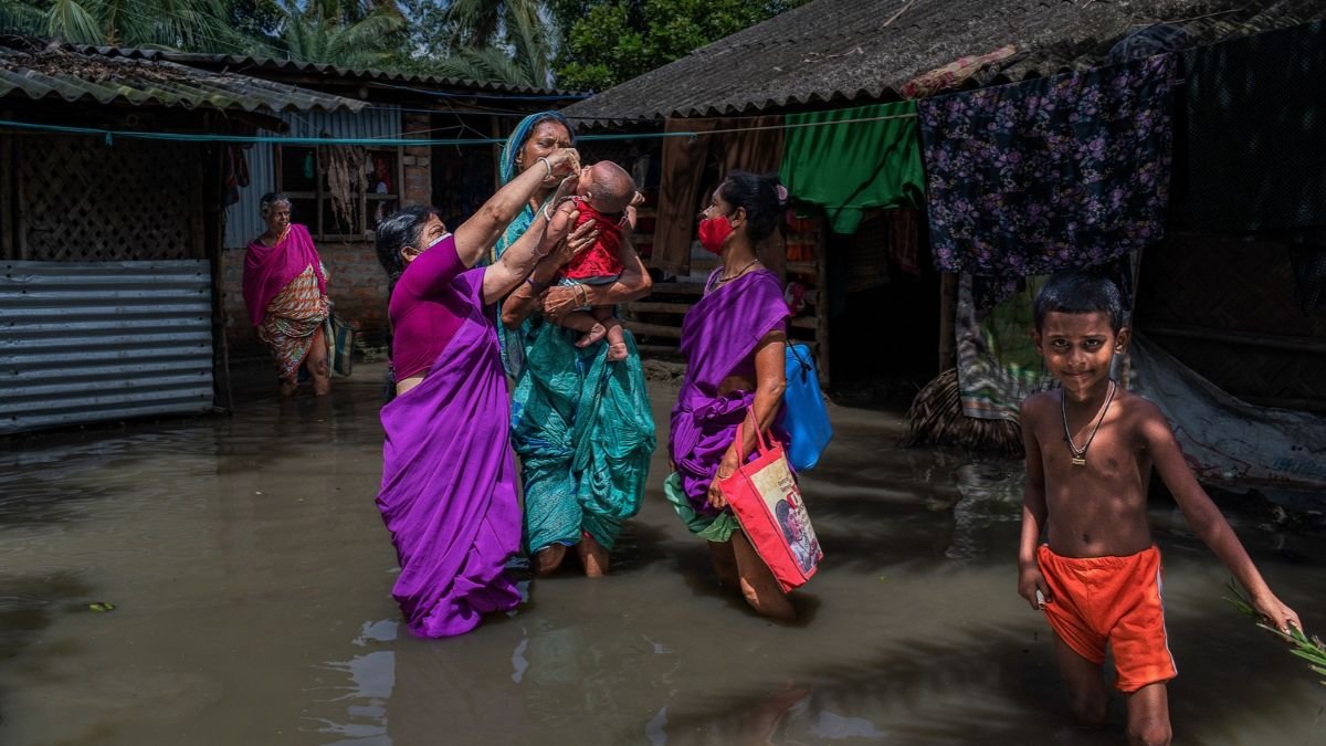
Nepal estimates that recovering from the devastating August floods will cost at least $4.71 billion. The United Nations’ Fund for Responding to Loss and Damage has provisionally set aside 21.6 million dollars in response, an allocation that covers only a small portion of the country’s estimated climate damages fund requirements. This highlights the climate justice gap between the scale of losses vulnerable countries face and the international support available to rebuild.
The fund’s board approved the decision at an extraordinary meeting on October 22, 2026. Of the amount set aside, $20 million is intended for potential assistance to Nepal, while $1.6 million is earmarked for oversight costs. Nepal must still complete the funding request and project approval process before the money can be disbursed. The decision is the fund’s first country-specific emergency response. Its immediate value will depend on how quickly the proposed assistance can be converted into funding for recovery work.
Reconstruction Costs Put Pressure on Nepal’s Finances
The August floods affected communities along the Bhotekoshi–Trishuli river system and damaged infrastructure in the affected region. Nepal’s estimated recovery requirements include the costs of rebuilding damaged assets and restoring services disrupted by the disaster.
For the government, reconstruction creates demands beyond the immediate response. Roads, bridges and other public infrastructure need repairs, while affected households face the expense of restoring homes and livelihoods. These costs compete with existing public spending priorities, making external assistance important to the recovery effort.
The provisional $20 million allocation for Nepal is less than 0.5% of its estimated reconstruction requirements. The funding can contribute to selected needs, but the country will have to secure substantially more money to meet the overall bill.
Climate Damages Fund to Address Climate-related Losses
The Fund for Responding to Loss and Damage was established under the UN climate process at COP27 in 2022 and operationalised at COP28 in 2023. It was created to help vulnerable developing countries deal with the consequences of climate change that cannot be adequately addressed through adaptation alone.
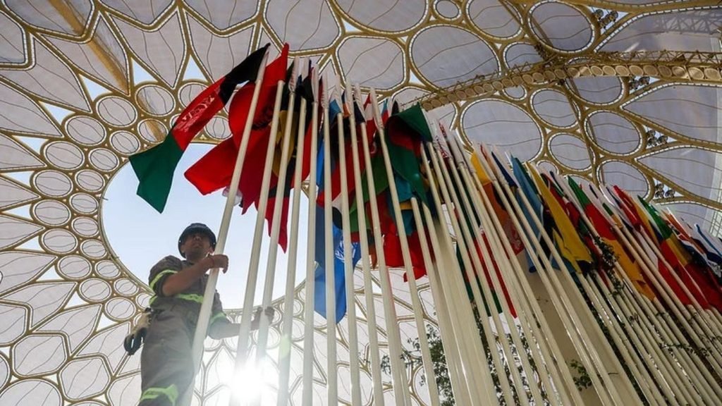
These consequences include damage to infrastructure and livelihoods, as well as losses that are harder to value financially, such as harm to cultural heritage and ecosystems. The fund is intended to provide a dedicated channel for addressing such impacts. Nepal’s allocation puts that mandate into practice. However, a decision to reserve funds is only one stage in the process. The country must submit its proposal, and the relevant procedures must be completed before the allocation becomes money available for recovery projects.
The board has agreed to consider an exceptional route for Nepal’s request outside the fund’s regular application cycle. This could help avoid some of the delays associated with a standard funding round, although the actual disbursement timeline remains crucial.
International Demand Exceeds the Fund’s Resources
The funding gap is not unique to Nepal. According to figures reported in the October 2026 news report supplied for this article, the fund had received 176 requests from 119 countries, worth approximately $2.8 billion. Pledges amounted to around $822 million.
The disparity raises questions about the fund’s capacity to respond to multiple emergencies and other loss and damage needs. Even where a request qualifies for consideration, the resources available may not match the amount sought.
The Nepal decision also illustrates why the terms used in climate finance announcements matter. A pledge is a commitment to provide money; an allocation sets aside funds for a specified purpose; a disbursement means the money has actually been transferred. For communities awaiting assistance, the final stage is the one that enables work to begin.
What Happens Next?
Nepal’s recovery will require financing from several sources, as the UN fund’s allocation is far below the estimated reconstruction bill. The immediate task is to complete the procedures required to access the proposed funding and identify the projects it will support.
The fund will also need to demonstrate that its emergency process can deliver assistance without creating unnecessary delays. Its ability to mobilise additional contributions will determine how much support it can offer as requests accumulate.
Nepal’s case provides an early measure of the distance between the scale of climate-related damage and the financial resources currently available through this mechanism. The provisional allocation is a concrete step, but its contribution to recovery will become clear only when the money reaches the projects and communities for which it is intended.
Climate
Climate Disasters Disrupted Schooling for 171 Million Students in 2025, UNICEF Finds
Climate disasters disrupted schooling for 171 million students worldwide in 2025, highlighting the urgent need for climate-resilient schools and education systems.
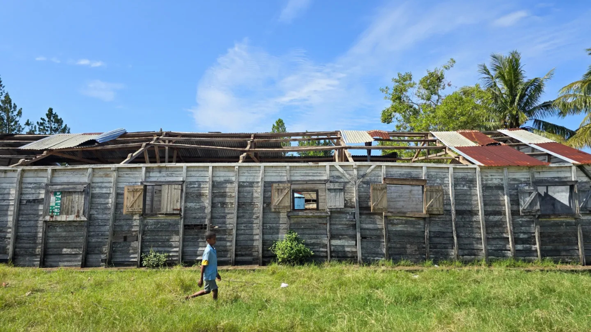
Climate-related disasters disrupted schooling for at least 171 million students worldwide in 2025, affecting one in every 10 school-age children, according to a new UNICEF report that warns of growing threats to learning, educational equality and future economic prospects.
The report, Learning Interrupted: Global Snapshot of Climate-Related School Disruptions in 2025, released on September 10, analysed data from 106 countries and territories. It found that storms, floods, heatwaves, droughts and wildfires caused school closures, shortened teaching hours, reduced attendance and shifts to remote learning.
The findings underline how climate change is emerging as a threat to educational continuity, particularly in countries where schools lack the infrastructure and resources to withstand extreme weather.
Storms and floods interrupt learning
Storms were the leading cause of climate-related school disruptions in 2025, affecting 109 million students globally. Floods affected at least 70 million, while heatwaves disrupted schooling for approximately 50 million children. These figures overlap and should not be added together as separate groups.
In Pakistan, severe monsoon flooding in August delayed the return to school for more than 28 million students. In Egypt, a powerful Khamsin wind-and-dust storm prompted a nationwide suspension of classes for one day, affecting more than 28 million students.
The problem extends beyond individual disasters. Forty countries experienced multiple rounds of climate-related school disruptions during 2025, exposing students to repeated interruptions throughout the academic year.
Floods can damage classrooms, sanitation facilities and learning materials, while extreme heat can make classrooms unsafe and undermine students’ ability to concentrate. Even after schools reopen, damaged infrastructure, disrupted transport and household financial pressures can prevent children from returning to regular attendance.
A growing threat to educational equality
Three-quarters of the students affected in 2025 lived in low- and lower-middle-income countries, where education systems often have fewer resources to prepare for disasters and restore teaching afterwards, UNICEF found.
The World Bank’s 2024 report, Choosing Our Future: Education for Climate Action, offers further evidence of the long-term challenge. It estimated that 400 million students globally experienced school closures due to extreme weather between 2022 and 2024. In affected schools in low-income countries, students lost approximately 45 instructional days between January 2022 and June 2024, compared with around six days in high-income countries.
These interruptions can compound existing educational disadvantages. Students from wealthier households may have access to private tutoring, digital devices and alternative learning arrangements. Children from poorer households may lack internet connectivity, electricity or suitable spaces to study during closures.
South Asia’s exposure highlights the challenge
UNICEF’s previous assessment, covering 2024, recorded at least 242 million students experiencing climate-related school disruptions across 85 countries and territories. South Asia was the most affected region, with 128 million students impacted. Heatwaves affected an estimated 171 million students worldwide that year.
India was among the countries affected by heat-related educational disruptions. In April 2024, extreme heat contributed to school interruptions across Bangladesh, Cambodia, India, the Philippines and Thailand, affecting at least 118 million children collectively. The figure represents the five-country group, not India alone.
The 2024 and 2025 totals should not be interpreted as a direct year-on-year decline. The reports covered different sets of countries and climate events, and the number of recorded disruptions depends on the incidents identified in each assessment.
Climate-resilient schools become a priority
UNICEF estimates that disruptions experienced in 2025 could cost affected students at least US$200 billion in lifetime earnings through lost learning and widening educational inequalities. This is a projection of potential future losses, rather than income already lost.
The World Bank has argued that relatively modest investments can help schools adapt. Its 2024 analysis estimated that a one-time investment of US$18.51 per child could help mitigate learning losses through measures such as improving classroom temperatures, strengthening school infrastructure and training teachers.
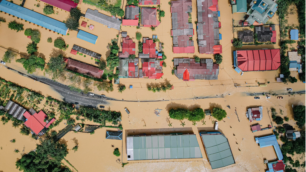
Aerial view showing significant flood damage in a residential neighborhood with inundated streets and homes.Image credit:Pexels
UNICEF is calling for climate resilience to be incorporated into education planning, alongside investment in stronger school buildings, emergency preparedness and systems that allow teaching to continue during disasters.
As extreme weather increasingly interrupts academic calendars, education systems must prepare not only to enrol children but also to protect their ability to learn. Climate-resilient infrastructure, early-warning systems and plans for educational continuity will be essential to ensuring that disasters do not deepen existing inequalities in access to education.


Istanbul Floods Reveal How Climate Change and Urbanisation Combine to Raise Flood Risks

Nepal’s 4.7 Billion Flood Recovery Bill Dwarfs UN Climate Fund Allocation

India–Poland to Pursue Joint Research in AI, Semiconductors and Quantum Technology

Climate Disasters Disrupted Schooling for 171 Million Students in 2025, UNICEF Finds

Brazil’s Amazon deforestation hits record low. Can the recovery last?

Knowing When to Think for Ourselves: AI, Intuition and the Education of Discernment

After a Scorching Summer, Delhi’s Children Are Slow to Return Outdoors

Two Chemists Win Nobel Prize for Solving a Century-Old Puzzle: Why Life Picks One Hand Over the Other

Marshall Islands: Why the US Nuclear Legacy Is Back Before the UN

How Wind Turbines Could Produce More Power From the Same Wind

-

 Math3 months ago
The 2026 Fields Medals: Four Proofs, Four Decades-Old Problems Solved
-
EP Deep Dive: Data & Solutions3 months ago
After Kerala’s Deadliest Landslide, the Hardest Thing to Rebuild Was Childhood
-
EP Deep Dive: Data & Solutions4 months ago
West Asia Crisis: Can Kerala’s Returning Gulf Migrants Find a Future in the Green Economy?
-
Space & Physics5 months ago
India Semiconductor Mission: ‘It’s Not About Fabs. It’s About Building An Entire Ecosystem’
-
Interviews1 month ago
From Scams to Screens: How the National Stock Exchange Rewrote India’s Equity Story
-
Climate5 months ago
The Climate World Cup? How Climate Change Could Affect Player Performance at the 2026 World Cup
-
Society3 months ago
What Is Civilisational Diplomacy? Understanding India’s Newest Foreign Policy Tool
-
Society4 months ago
From Bell Labs to the Classroom: A Second Career in Teaching