
Earth
What is the Science Behind the Boiling River
So what could be causing the river to boil?

When Andrés Ruzo, a native of Lima, Peru, was very young, his grandfather told him a captivating story—the story of the Spanish conquest of Peru. Atahualpa, the last ruler of the Inca Empire, was captured and executed by Francisco Pizarro and his Spanish soldiers. They became wealthy by plundering the gold and treasures of the Inca Empire. The tale became widely known in Spain, leading many Spaniards to venture to Peru, eager to claim gold and power. They asked the Incas where they could find more gold, and the Incas pointed toward the Amazon jungle, saying, “Go there, there’s as much gold as you need. There is even a city built of gold called Paititi.”
Spurred by these rumors, the Spaniards entered the Amazon in search of treasure. However, only a few of them returned from the jungle, and they came back with more than just tales of gold. They spoke of a tribe of mighty shamans, warriors armed with poisoned arrows, towering trees that blocked out the sun, eight-legged creatures that ate birds, snakes that devoured humans, and, most notably, a boiling river.
Andrés Ruzo grew up hearing these stories, and the image of the boiling river was etched in his mind. During his PhD studies, focused on geothermal energy potential in Peru, the thought of this river resurfaced. He wondered: Could such a river really exist? He posed the question to his colleagues, the government, and even to oil and gas companies. The unanimous answer was no. While warm rivers exist near volcanoes, there were no volcanoes in the Amazon—especially not in Peru. It seemed unlikely that a boiling river could exist there.
Ruzo once shared this viewpoint with his family during a dinner, but his aunt quickly interrupted. “No, Andrés,” she said, “there is such a river, I have been there.” Her husband agreed, confirming the story. That was when Ruzo’s relationship with the Boiling River truly began. From that moment, he set out to prove that the boiling river in the Amazon was not just a myth.
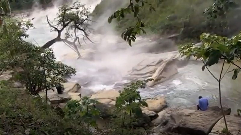
Ruzo ventured into the Amazon to find the river his grandfather and aunt had spoken of. This river is located in the heart of the Amazon rainforest in central Peru. As Ruzo described in an interview, as he approached the river, he heard what sounded like waves crashing on the shore. Soon, he began to see steam rising through the trees. The river, which he had first learned about through his grandfather’s stories, filled the air with steam. Upon testing the water temperature, Ruzo found it to be 86°C. The river’s temperature ranges from a minimum of 27°C to a maximum of 94°C. Many hot springs feed into the river, adding to the extreme heat. The river stretches for about 9 kilometers, with 6.24 kilometers of it flowing with boiling water. In the summer, the river is hot enough to kill anyone who falls into it. Small creatures, including frogs and snakes, are often found drowned in its waters.

The only people who live near this river are indigenous tribal communities, particularly the Shaman tribe, who consider the Boiling River sacred. To them, the river is a divine presence, an essential part of their daily life. They believe that Yakumama, the water goddess, transforms cold water into hot. In their language, yaku means water. The tribe uses the water from the river to drink, cook, make medicine, and even inhale the steam rising from its surface.
Locally, the river is known as Shanai Timpishka, which translates to “boiling by the heat of the sun.” But what is the scientific explanation behind the boiling waters of this river?
In 2011, Ruzo began his research on Shanai Timpishka, as little was known about the river outside of the local community. Even the people of Peru regarded the river as a legend rather than a natural phenomenon.
When Ruzo first encountered the river, he too was skeptical about its origin. Typically, rivers with such high temperatures are found near volcanic activity, but the nearest volcano to this river is over 700 kilometers away. So what could be causing the water to boil?
Another possibility was geothermal heat. But to explain the river’s boiling waters through geothermal energy, a massive heat source and a vast system of plumbing would be required to carry hot water to the surface.
With the support of the indigenous tribes living nearby, Ruzo set out to investigate what was truly happening at Shanai Timpishka. Each year, he returned to the Amazon to collect samples and measure the river’s temperature. As he recalls in his TED Talk, his fieldwork was filled with danger and adventure. On one occasion, after a heavy rain, he stood for hours on a small rock in the river, which was flowing at 80°C.

Over the course of several years, Ruzo conducted geophysical and geochemical experiments, ultimately reaching several conclusions.
The Boiling River is No Myth
Ruzo’s first major revelation to the world was that the Boiling River in the Amazon was not a mere myth. Despite not being near any volcanic activity, he began to explain the reasons behind the extreme temperatures in the river. The culprit, he concluded, was fault-fed hot springs. Just as blood flows through our veins, hot water travels through fissures in the Earth’s crust. When this hot water reaches the surface, geothermal phenomena like fumaroles (vents releasing gases and steam), hot springs, and boiling rivers like Shanai Timpishka occur.
Ruzo explains that a large hydrothermal system lies beneath the river. As water travels deep into the Earth, it gradually heats up. This is known as the geothermal gradient. The water, originating far below the Earth’s surface, flows through cracks or vents, eventually emerging as boiling water on the surface. The indigenous tribes in the area believe that the cold water from the river is transformed into hot water by the Earth’s heat—a phenomenon they regard as divine.
The river itself stretches across about 6.24 kilometers of boiling waters. It’s filled with large thermal pools, six-meter-high waterfalls, and other unique features. At certain points, the water reaches temperatures hot enough to rival your cup of coffee, and in some sections, the heat is even more intense.
What is Geothermal Heat?
The Earth’s interior consists of three layers: the crust, the mantle, and the core. The core is in a liquid state, and its temperature can reach up to 6,500°C. As water travels deeper into the Earth, it heats up, and as it nears the surface, this geothermal heat manifests itself in the form of fumaroles, hot springs, and rivers like Shanai Timpishka.
The process by which heat energy is released from the Earth’s core is known as geothermal energy. Geothermal energy is a renewable source of energy that is used worldwide for various purposes, including electricity generation.
Why the Boiling River Needs Protection
Although rivers near volcanoes may have hot water, a river with such high temperatures—away from volcanic influence—is exceptionally rare. However, the area around the Boiling River is facing significant threats. Large-scale deforestation is taking place in the region, and the river is also at risk due to industrial development.
While the heat source behind the Boiling River is an extraordinary geothermal phenomenon, more research and studies are still needed to fully understand it. Andrés Ruzo, in collaboration with local tribes, has initiated major efforts to protect the river. The Boiling River Project, based in the United States, is a non-profit initiative aimed at preserving this unique natural wonder. One of the key goals of the project is to declare the area around the river a Peruvian National Monument, ensuring its protection for future generations.
Climate & Environment
Global Ecosystem Restoration Progress Falls Short of 2030 Targets, UN Report Warns

Ecosystem restoration efforts are expanding across the world, but progress remains insufficient to meet global biodiversity targets for 2030, according to a new report released by the Food and Agriculture Organization of the United Nations (FAO), the United Nations Environment Programme (UNEP) and the Secretariat of the Convention on Biological Diversity (SCBD).
The report, Restoration Progress Report: Nature’s Comeback – Scaling Ecosystem Restoration for People and Planet, documents approximately 252 million hectares of terrestrial, freshwater, marine and coastal ecosystems under restoration across 149 countries in 2026. Despite this progress, the report warns that implementation must triple to achieve the global commitment to restore 30 per cent of degraded ecosystems by 2030.
Countries have collectively committed to restoring approximately one billion hectares through national plans, international agreements and regional initiatives. However, the documented restoration area represents only about a quarter of these commitments, highlighting the gap between political ambition and action on the ground.
The assessment comes as the United Nations Decade on Ecosystem Restoration (2021–2030) enters its second half. It examines restoration progress across different ecosystems, the financial resources required and the measures needed to accelerate recovery.
The report identifies land-use change, agricultural expansion, deforestation, overexploitation of natural resources, pollution and climate change as major drivers of ecosystem degradation. These pressures frequently interact, making recovery more difficult and expensive.
More than 1.56 billion hectares of land, representing over 15 per cent of the global land surface, are estimated to be degraded. Between 2015 and 2019, at least 100 million hectares of previously healthy and productive land were degraded annually. Agricultural lands account for more than 60 per cent of global land degradation, with an estimated 480 million hectares of cropland and 560 million hectares of pastureland affected.
Freshwater and marine ecosystems lag behind
Restoration progress varies considerably across ecosystem types. Terrestrial ecosystems account for the largest share of documented restoration, with approximately 232 million hectares under restoration. However, this still represents only about half of the 469 million hectares estimated to be required to meet the 2030 restoration target for terrestrial ecosystems.
Freshwater ecosystems face a substantially larger implementation gap. Only around 11 million hectares are documented as being under restoration, representing approximately 4.5 per cent of the estimated 244 million hectares required to meet the target.
Marine and coastal ecosystems have approximately 5.7 million hectares under restoration, equivalent to around 23 per cent of their estimated 25 million-hectare target.
The report notes that freshwater and marine ecosystems are among the most rapidly degrading environments, despite their importance in supporting biodiversity, food security and livelihoods. Incomplete monitoring and inconsistent national reporting also make it difficult to establish the full extent of restoration activities in these ecosystems.
Funding gap threatens restoration ambitions
Financing remains another major obstacle. Global restoration investments reached approximately $64 billion in 2022, but annual funding needs to increase to $296 billion by 2030 and $448 billion by 2050 to meet restoration requirements.
The report calls for greater public investment alongside private and blended financing mechanisms. It also stresses the need to redirect financial flows and subsidies that encourage unsustainable resource use and contribute to environmental degradation.
Beyond ecological benefits, restoration could generate significant employment opportunities. The report estimates that more than one million green jobs have been created through the World Restoration Flagships, while ecosystem restoration has the potential to generate over 32 million additional jobs globally by 2030.

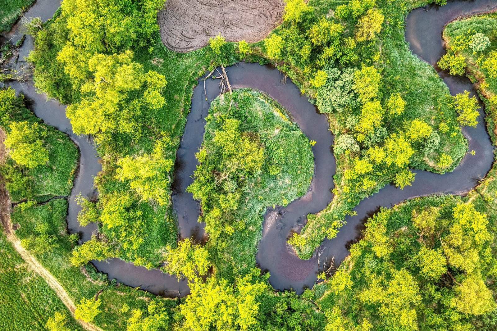
Vibrant green moss and plants beside a gently flowing stream in a natural setting.Image credit:Pexels
It also highlights the potential of restoration to address climate change and biodiversity loss. Research cited in the assessment indicates that restoring just 15 per cent of global priority areas could capture and store carbon equivalent to 30 per cent of the total increase in atmospheric carbon dioxide since the Industrial Revolution, while helping avoid 60 per cent of species extinctions.
The report emphasises that successful restoration requires more than increasing the area of land brought under recovery. It calls for greater participation of Indigenous Peoples and local communities, recognition of land rights, stronger monitoring systems and restoration strategies that address entire landscapes and ecosystems.
As the 2030 deadline approaches, the assessment identifies three priorities for accelerating progress: building a broader global movement for restoration, strengthening political commitment and developing the technical capacity needed to implement and monitor restoration programmes.
It concludes that restoration targets must translate into sustained ecological recovery rather than remain numerical commitments. Preventing further degradation and ensuring that restored ecosystems continue to recover will be essential to securing long-term benefits for biodiversity, climate resilience and human well-being.
Earth
Greener Forests, Weaker Carbon Sinks? Study Finds Declining Productivity in Northeast India
A 24-year satellite-based study finds that Northeast India’s forests are experiencing declining carbon productivity despite relatively stable canopy cover, highlighting how rising atmospheric dryness could weaken their capacity to absorb and retain carbon.

Forests in Northeast India are showing signs of a weakening capacity to accumulate carbon despite maintaining relatively stable canopy cover, according to a study published in Ecological Indicators in October 2026. The research suggests that increasing vegetation greenness does not necessarily indicate stronger carbon sinks, highlighting the need to assess forest health beyond satellite measurements of green cover.
Titled Are Greener Forests Stronger Carbon Sinks? Rising Vapour Pressure Deficit Instigates Greening-Productivity Decoupling in a Tropical Biodiversity Hotspot in India, the study examined forest carbon dynamics across Northeast India using 24 years of satellite-derived data from 2001 to 2024.
Researchers analysed three indicators: Leaf Area Index (LAI), Gross Primary Productivity (GPP) and Net Primary Productivity (NPP). These measurements helped assess changes in forest canopy structure, photosynthetic activity and the amount of carbon retained in plant biomass after accounting for plant respiration.
The analysis found that while canopy structure remained relatively stable and gross primary productivity increased modestly by 1.76 grams of carbon per square metre annually, net primary productivity declined by 0.83 grams of carbon per square metre annually across much of the region.
The researchers identified a divergence between canopy greenness and carbon productivity across approximately 40% of forested areas. A separate divergence between photosynthetic activity and net productivity was observed across around 30% of the region.
These findings indicate that forests can maintain their green appearance without achieving corresponding gains in carbon accumulation.
Atmospheric dryness emerges as a major factor
The study identified rising Vapour Pressure Deficit (VPD) as a primary driver of declining forest productivity. VPD measures the difference between the amount of moisture the atmosphere can hold and the moisture it actually contains. Higher VPD indicates greater atmospheric demand for water, increasing stress on vegetation.
Under such conditions, plants may close their stomata, the small pores on their leaves, to reduce water loss. This also restricts the intake of carbon dioxide required for photosynthesis, potentially reducing the amount of carbon absorbed by vegetation.
The researchers also identified a major shift in forest carbon functioning beginning around 2012. Their analysis suggests that the relationship between canopy structure, photosynthesis and net carbon accumulation has weakened over time.
The findings are particularly significant for Northeast India, which the study identifies as a climatically sensitive biodiversity hotspot containing approximately one-third of India’s forest carbon.
Earlier research points to similar concerns
The findings build on earlier research published in Scientific Reports in December 2023, which examined vegetation productivity across India between 2001 and 2019.
That study found that India’s Leaf Area Index increased by 6.75% in consistently forested areas, while Net Primary Productivity declined by 6.19%. Northeast India, the Western Ghats and parts of Peninsular India emerged as important regions experiencing declining productivity.
The 2023 research associated these changes with rising temperatures, which can reduce photosynthesis and increase plant respiration beyond certain temperature thresholds.
Another study examining a semi-deciduous forest in Kaziranga, published in Agricultural and Forest Meteorology in 2022, demonstrated how carbon exchange varies with seasonal and climatic conditions. It found that the forest functioned as a carbon sink during the pre-monsoon season but as a carbon source during winter in the observed study period.
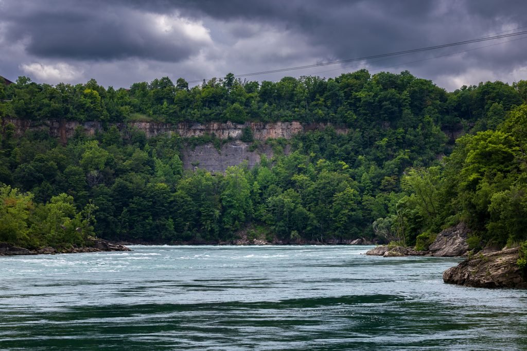
Image of a dense forest alongside a flowing river.Image credit:Pexels
Together, these studies highlight the importance of examining forest productivity, atmospheric conditions and seasonal carbon exchange rather than relying solely on changes in green cover.
The latest research does not suggest that Northeast India’s forests are structurally collapsing. Instead, it points to a less visible change in their ecological functioning, with implications for forest carbon accounting and climate-resilient forest management.
The findings underline the need for monitoring systems that combine satellite observations with measurements of atmospheric stress and carbon productivity to better understand how tropical forests respond to a warming climate.
Earth
252 Million Hectares Under Restoration Across 149 Countries, but UN Warns of 2030 Target Gap
A UN report finds that 252 million hectares across 149 countries are under ecosystem restoration. However, increased investment and accelerated action are needed to meet global restoration targets by 2030.
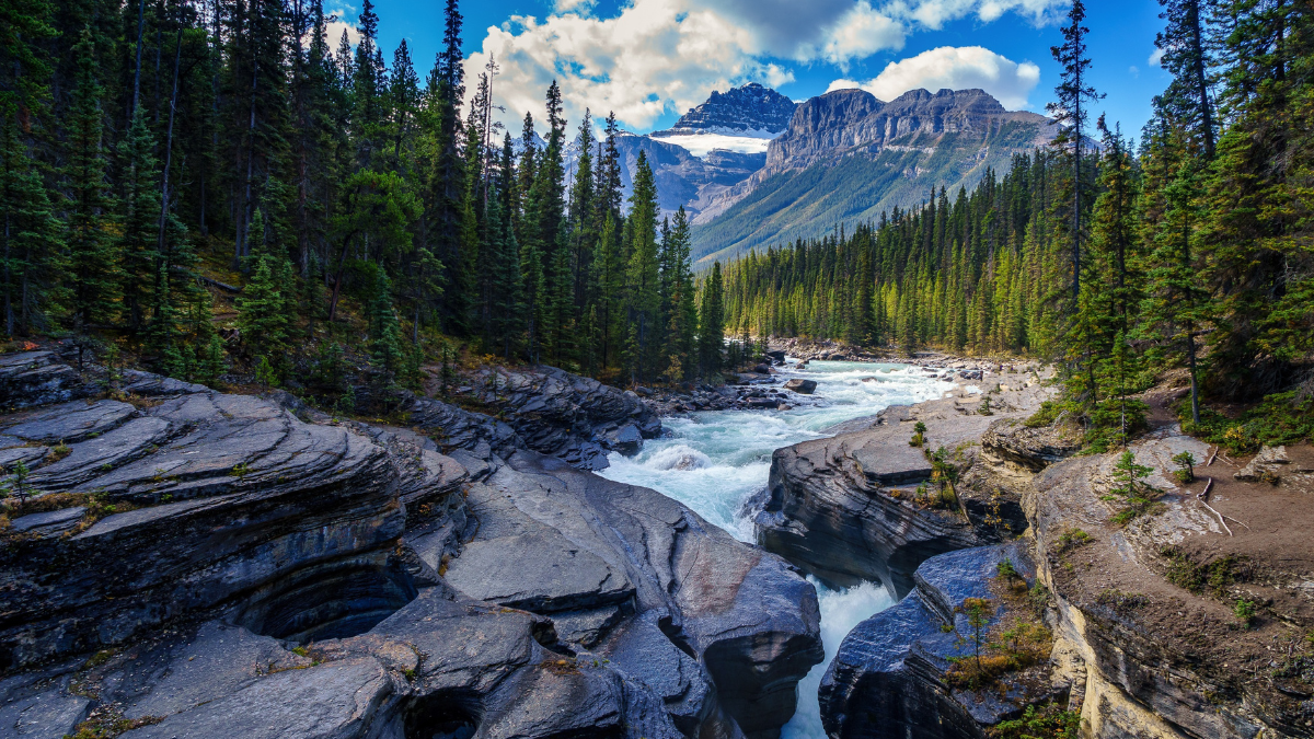
Global efforts to restore degraded ecosystems have reached 252 million hectares across 149 countries, generating more than one million green jobs. However, a new United Nations assessment warns that restoration efforts remain insufficient to meet international biodiversity targets by 2030, calling for a more than fourfold increase in annual investment.
The findings are presented in the Restoration Progress Report: Nature’s Comeback – Scaling Ecosystem Restoration for People and Planet, released on October 29, 2026, by the United Nations Environment Programme (UNEP), the Food and Agriculture Organization (FAO) and the Secretariat of the Convention on Biological Diversity (CBD).
The report provides the first comprehensive global assessment of progress towards commitments to restore approximately one billion hectares of degraded ecosystems. These commitments are linked to the UN Decade on Ecosystem Restoration (2021–2030) and the Kunming-Montreal Global Biodiversity Framework, which calls for at least 30 per cent of degraded terrestrial, freshwater, marine and coastal ecosystems to be under effective restoration by 2030.
According to the assessment, the 252 million hectares currently documented under restoration represent the largest recorded global restoration effort. However, this accounts for only 34 per cent of the indicative global benchmark associated with the 2030 target.
Freshwater and marine ecosystems lag behind
The report identifies considerable differences in restoration progress across regions and ecosystem types. Asia accounts for the largest share of documented restoration, with 192.2 million hectares, followed by Africa with 36.3 million hectares and Europe with 9.1 million hectares. North and Central America account for 5.8 million hectares, South America 5.4 million hectares and Oceania 3.2 million hectares.
However, the report cautions that these figures should not be interpreted as a ranking of restoration performance, as they also reflect differences in regional land area and monitoring and reporting capacities.
Restoration of terrestrial ecosystems has reached nearly half of the global 2030 target. China reports the largest terrestrial restoration area, with 127.4 million hectares, while substantial restoration activities have also been documented in Mongolia and Kazakhstan.
Progress remains considerably slower in freshwater, marine and coastal ecosystems, despite these environments experiencing rapid degradation.
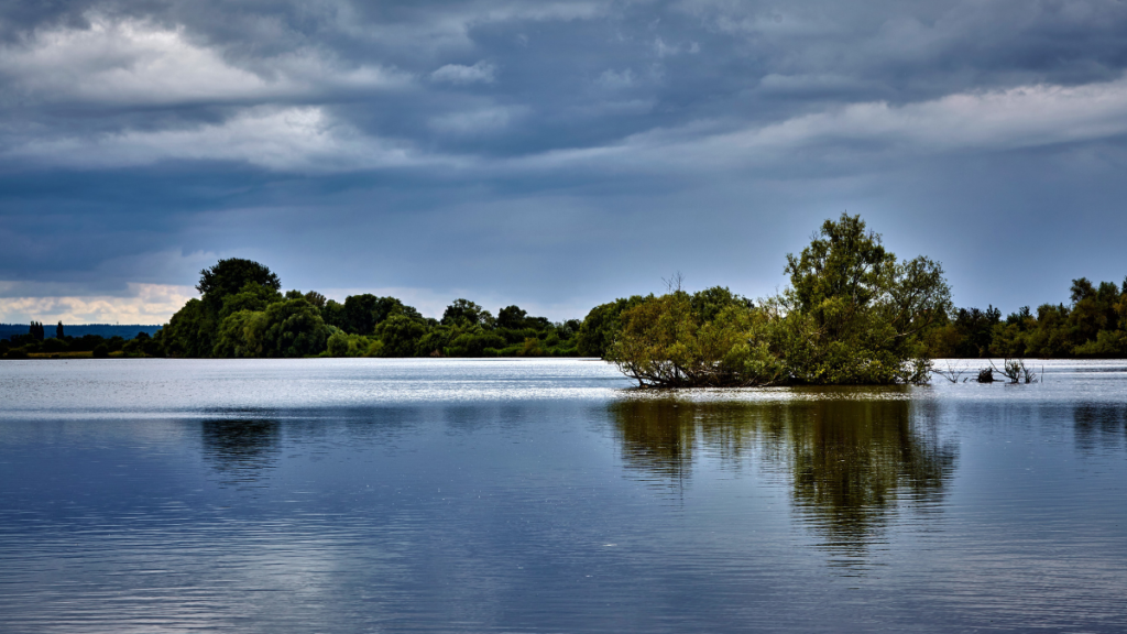
A river along the side of a dense forest. Image credit: Pexels
The assessment documents 11 million hectares of freshwater ecosystems under restoration across 62 countries and 5.7 million hectares of marine and coastal ecosystems across 46 countries. The report also notes that limited monitoring and reporting may mean that actual restoration activities in these ecosystems are higher than the documented figures.
Meanwhile, the share of countries reporting implemented wetland restoration or rehabilitation programmes has increased from 8 per cent in 2022 to 54 per cent.
Restoration financing needs to increase fourfold
Insufficient investment remains a major obstacle to achieving global restoration commitments. The report estimates that annual restoration financing must increase from US$64 billion to US$296 billion by 2030, representing more than a fourfold rise.
Agroforestry requires the largest estimated annual investment, at US$87 billion, followed by restorative reforestation at US$52 billion, peatland restoration at US$44 billion and seagrass restoration at US$28 billion.
The report identifies employment generation as another potential benefit of scaling up restoration. While more than one million green jobs have already been associated with restoration initiatives, increased global investment could generate up to 32 million additional jobs by 2030.
It also highlights the potential contribution of ecosystem restoration to climate mitigation and biodiversity protection. Research cited in the assessment indicates that restoring just 15 per cent of global priority areas could capture and store 30 per cent of carbon dioxide-equivalent emissions released since the Industrial Revolution and help prevent 60 per cent of projected species extinctions.
The report further identifies the participation and leadership of Indigenous Peoples and local communities as essential to ensuring long-term restoration outcomes. Secure land rights, stronger monitoring systems and sustained political commitment are among the priorities identified.
With five years remaining in the UN Decade on Ecosystem Restoration, the assessment calls on governments to move beyond isolated restoration projects towards coordinated, long-term programmes that address the underlying causes of ecosystem degradation.
It emphasises that the 2030 targets should serve as a milestone in the restoration process rather than its conclusion, as ecological recovery requires sustained action and investment beyond the end of the decade.

Is India paying more than it thinks for chemical farming?

Extreme weather affects India on 92% of days in 2026, raises concerns over climate preparedness

Physicists Extend Einstein’s Theory to Investigate the Universe’s Earliest Matter

India’s higher education expansion faces faculty shortage, with senior academic posts worst affected

Over 1,000 Cancer Drug Formulations Become Cheaper Across India

Indian universities lead Asia in research output per faculty, but the country’s top six all slip in QS ranking

After a Scorching Summer, Delhi’s Children Are Slow to Return Outdoors

Europe Braces for Extremes as Commission Unveils Climate Resilience Framework

Automated Homoeopathic Dispensing System Receives Indian Patent

Thorium-229 Nuclear Clock Opens New Way to Probe Dark Matter
-

 Math4 months ago
The 2026 Fields Medals: Four Proofs, Four Decades-Old Problems Solved
-
EP Deep Dive: Data & Solutions3 months ago
After Kerala’s Deadliest Landslide, the Hardest Thing to Rebuild Was Childhood
-
EP Deep Dive: Data & Solutions4 months ago
West Asia Crisis: Can Kerala’s Returning Gulf Migrants Find a Future in the Green Economy?
-
Space & Physics6 months ago
India Semiconductor Mission: ‘It’s Not About Fabs. It’s About Building An Entire Ecosystem’
-
Interviews2 months ago
From Scams to Screens: How the National Stock Exchange Rewrote India’s Equity Story
-
Climate & Environment5 months ago
The Climate World Cup? How Climate Change Could Affect Player Performance at the 2026 World Cup
-
Society4 months ago
What Is Civilisational Diplomacy? Understanding India’s Newest Foreign Policy Tool
-
Society5 months ago
From Bell Labs to the Classroom: A Second Career in Teaching